Press "Enter" to skip to content

Tag: Maps

Accessible tactile 3D printed restroom maps for blind visitors

If you are blind, when you visit a restroom by default you will end up touching many more things than sighted people to find the same facilities. Wouldn’t it be great to minimize contact with things you wouldn’t need to touch in the first place?

This is why I invented the accessible tactile 3D printed restroom maps.

A tactile restroom map is a 3D-printed miniature replica of a restroom’s layout, mounted beside the ADA sign, that blind visitors can feel before entering.

When a blind person visits a restroom, before they enter they can quickly examine a map of the exact layout of the restroom so they can go exactly where they want to without having to explore and accidentally touch more than necessary.

accessible tactile restroom map including a sink, toilets, urinals, paper holders, hand dryer and doors.

4 Comments

How Tactile Maps Help Blind People?

Tactile maps are a breakthrough that grants blind or visually impaired people an easy means to comprehend their surroundings. Designed with raised features and braille, these maps can skillfully bridge the gap between the navigation of sighted and non-sighted people, fostering accessibility and inclusivity.

This article explores the benefits, applications, and impact of tactile maps on people with visual impairment.

Leave a Comment

The advantages of 3D tactile maps

Tactile maps are, by design, three-dimensional, as they use raised surfaces to make a two-dimensional map touchable. However, traditional tactile maps elevate features just enough for them to be discernible by touch, while 3D maps go further by utilizing height and depth to convey richer, more intuitive information. This makes >3D tactile maps more effective and accessible in many contexts.

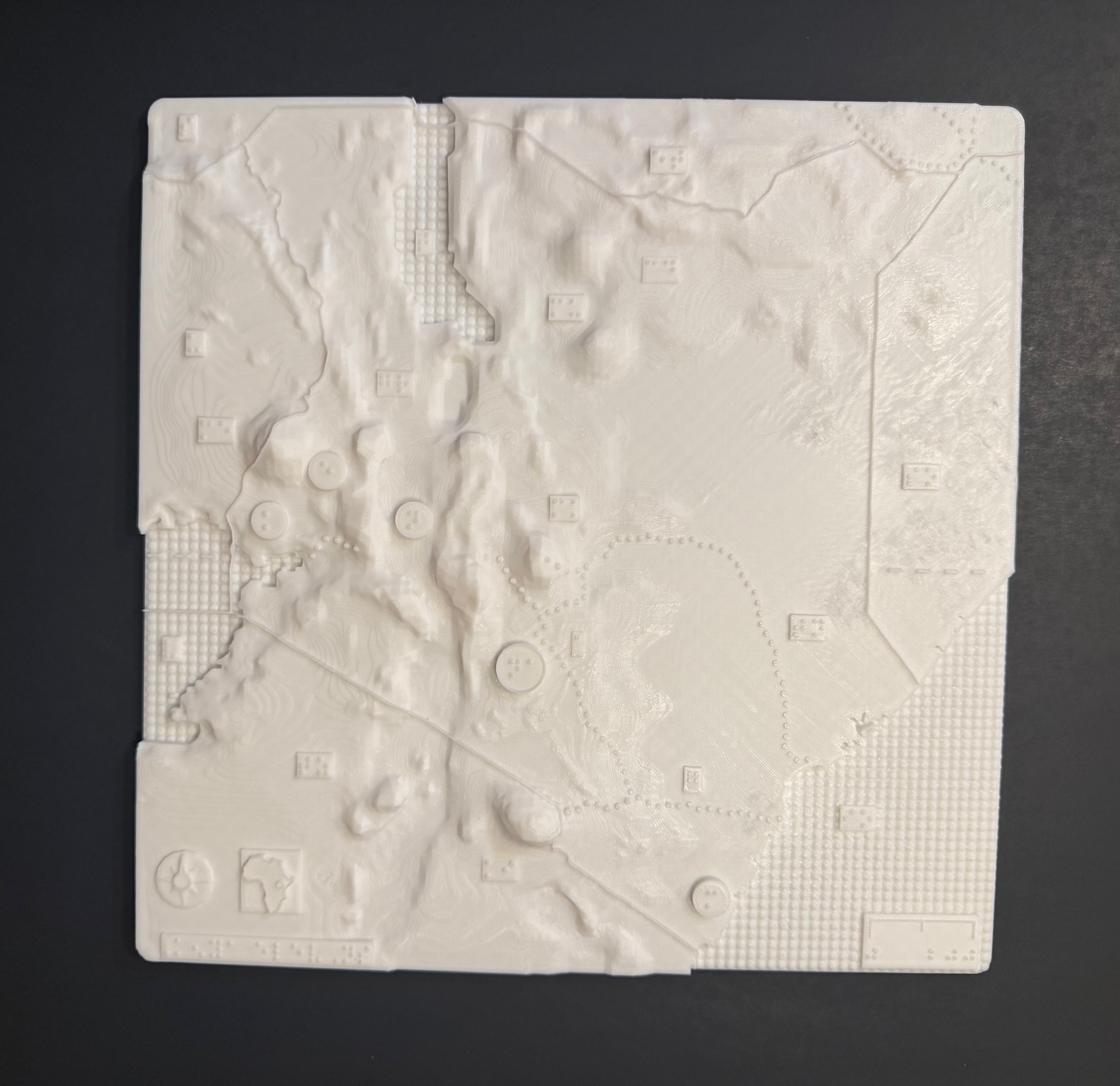
Kenya elevations 3d tactile map

The above 3-D map shows the elevations of Kenya with braille labels, made in collaboration with the Clovernook Center for the Blind & Visually Impaired

Leave a Comment

Exploring the World with Touch Mapper: 3D Printing Tactile Maps for the Visually Impaired

I am always searching for innovative solutions to enhance the independence of visually impaired individuals. One such solution that has captured my attention many years ago was Touch Mapper, a service that allows the printing of local maps based on addresses. These tactile maps, designed for blind and visually impaired people, show roads, buildings, and bodies of water, with data sourced from OpenStreetMap. With my new 3D printer, it was finally time to put it to a test.

2 Comments