Tactile maps are, by design, three-dimensional, as they use raised surfaces to make a two-dimensional map touchable. However, traditional tactile maps elevate features just enough for them to be discernible by touch, while 3D maps go further by utilizing height and depth to convey richer, more intuitive information. This makes >3D tactile maps more effective and accessible in many contexts.
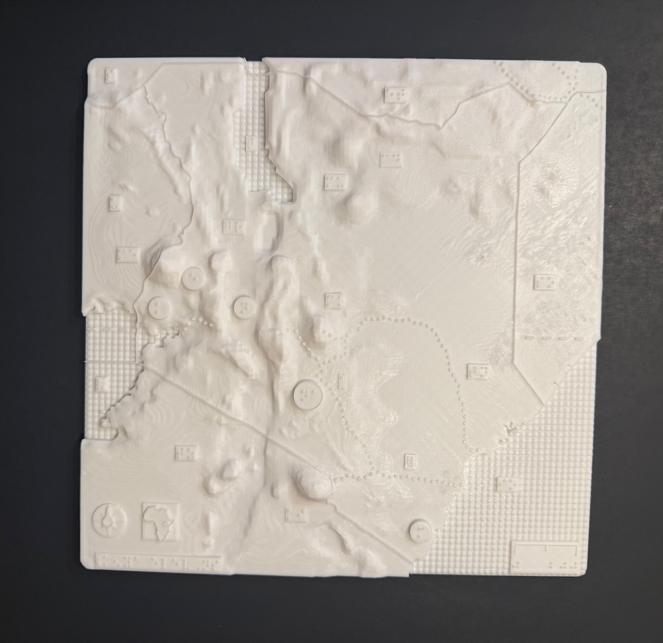
The above 3-D map shows the elevations of Kenya with braille labels, made in collaboration with the Clovernook Center for the Blind & Visually Impaired
Leave a Comment