Tactile 3D Maps
Our tactile 3D maps are designed to provide accessible and detailed spatial information. Each map is custom-made on demand, ensuring it meets your specific requirements.
If you would like to purchase one of our maps, please visit our store or contact us directly. We offer a wide range of map types, including:
- Geographic Maps: Displaying landscapes and terrains.
- Elevation Maps: Highlighting changes in height and depth.
- City and Waterway Maps: Featuring cities, rivers, and other significant water bodies.
- Roads and Railways: Depicting transportation networks.
- City Maps: Highlighting urban layouts and landmarks.
- Smaller Scale Maps: Floor plans, hotel layouts, and convention center guides.
All maps contain braille marks, and are shipped with a tactile legends page.
Most of our maps are crafted from durable white PLA, but we offer a variety of materials to suit different needs. For outdoor use or increased durability, we can create maps from stronger plastics or even bronze. Maps can be tailored to any size and scale, ensuring they perfectly meet your needs.
Available Maps:
We currently have the following maps available:
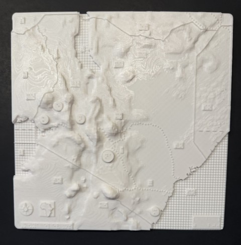
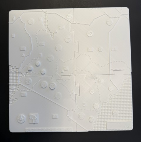
-
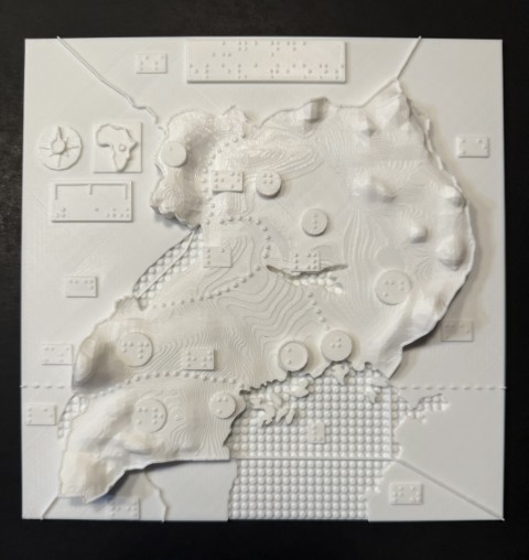
- Uganda cities
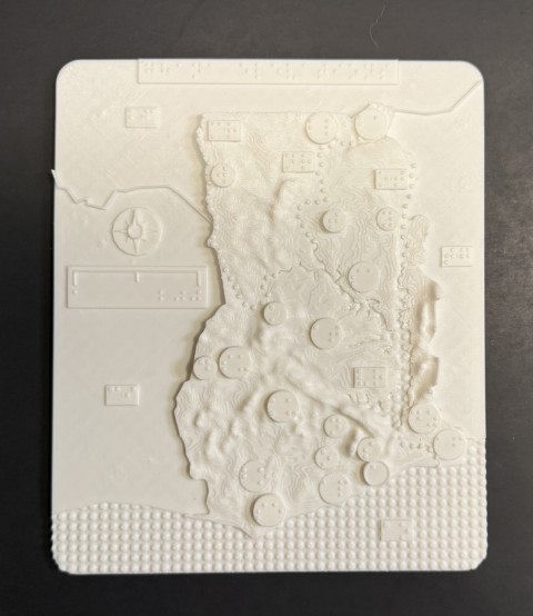 Ghana elevations
 Zambia elevations
- Tanzania elevations
- Ohio elevations
- Ohio cities
The above maps are made in collaboration with the Clovernook Center for the Blind and Visually Impaired
To learn about our new products, sign up for our 3D buildings newsletter.
For inquiries, orders, or to discuss your specific requirements, please get in touch with us.
